-
Temp Windchill Humidity Dewpoint 32 F 22 F 75 % 24 F Visibility Wind Direction Gust 8.807 Mi 13 mph N 15 mph Pressure Trend Rain Rate Rain 24h 998.7 hPa 0 in 0 in
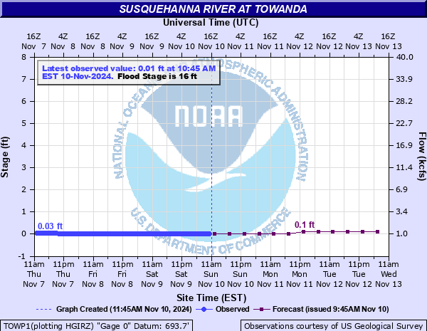
| Current Radar | Susquehanna River | Towanda Creek |
|---|---|---|
![]() |
![]() ![]() |
![]() ![]() |
5 DAY FORECAST FOR APR. 20 THRU APR. 24
Overnight
Scattered snow showers. Mostly cloudy, with a low around 30. Northwest wind around 5 mph. Chance of precipitation is 30%. Total nighttime snow accumulation of less than a half inch possible.
Monday
Scattered snow showers before 9am, then isolated snow showers after 1pm. Partly sunny, with a high near 41. Northwest wind 6 to 9 mph, with gusts as high as 20 mph. Chance of precipitation is 30%. New snow accumulation of less than a half inch possible.
Monday Night
Mostly clear, with a low around 23. North wind around 5 mph becoming calm in the evening.
Tuesday
Increasing clouds, with a high near 52. Calm wind becoming south around 6 mph in the afternoon.
Tuesday Night
A chance of showers. Mostly cloudy, with a low around 41. South wind around 6 mph. Chance of precipitation is 40%.
Wednesday
A slight chance of showers after 2pm. Partly sunny, with a high near 64. Chance of precipitation is 20%.
Wednesday Night
Partly cloudy, with a low around 40.
Thursday
Mostly sunny, with a high near 67.
Thursday Night
Partly cloudy, with a low around 42.
Friday
Mostly sunny, with a high near 66.
Friday Night
A chance of showers. Mostly cloudy, with a low around 47. Chance of precipitation is 40%.
Saturday
Showers likely. Mostly cloudy, with a high near 60. Chance of precipitation is 60%.
Saturday Night
Showers likely. Mostly cloudy, with a low around 43. Chance of precipitation is 60%.
Sunday
A chance of showers. Mostly cloudy, with a high near 61. Chance of precipitation is 40%.


